
First Trans-Atlantic Flight Using GPS
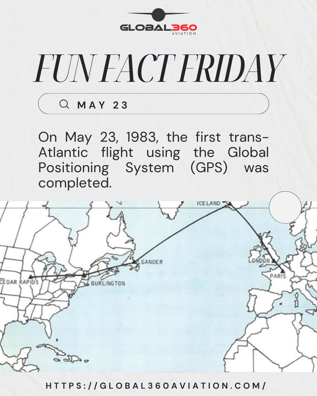
On May 23, 1983, a Rockwell Collins Sabreliner piloted by Charles Hall and David Selzer, flew from Cedar Rapids, Iowa, to the Paris Air Show in Le Bourget, in a demonstration of the GPS navigation. The trip was broken into five flights that took approximately 3 to 4 hours each, because that was the length of the navigation windows formed by the six satellites in orbit at that time.
The four layovers before the final leg, were made at Burlington, VT (US); Gander, Newfoundland (Canada); Reykjavik, Iceland; and London, England, so the aircraft could have four Navistar satellites in view.
The flight demonstrated that accurate position fixing, long distance navigation, and taxi guidance could be achieved despite the lack of full satellite constellation.